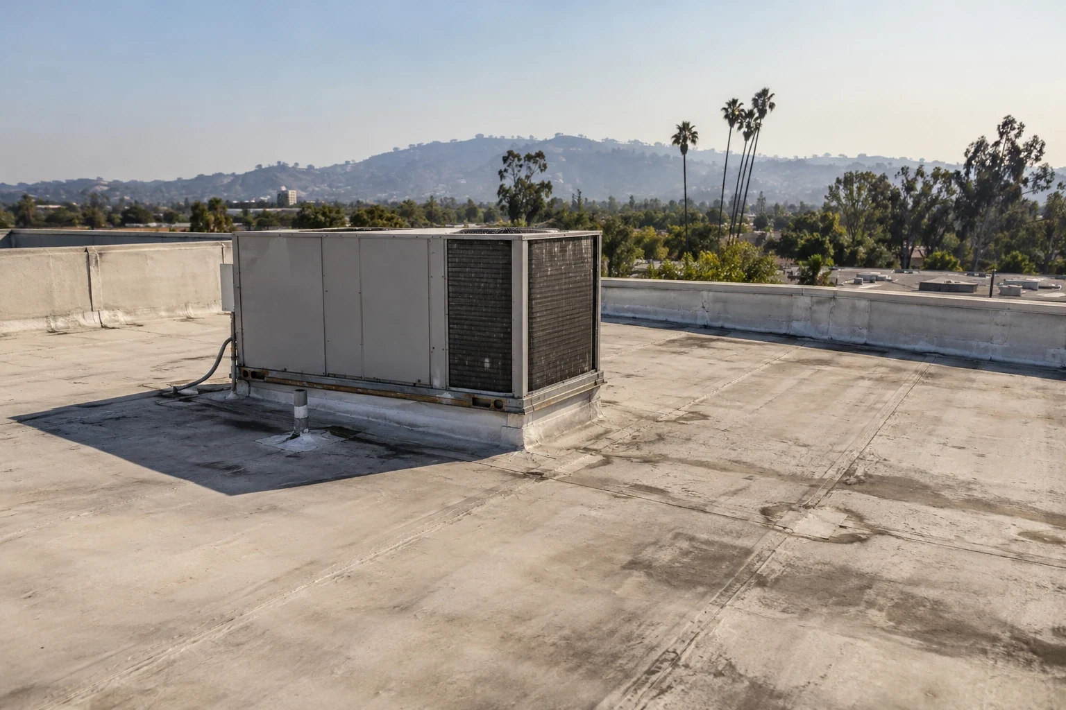
Santa Ana wind can change the timing of a roof flight. In Santa Clarita, CA, plan the visit around suitable conditions and the question the owner needs answered. A drone can document visible areas without requiring a person to enter each photographed location.
The images need interpretation. A stain, displaced component or surface change gives us a finding to examine, not an automatic diagnosis. We identify coverage, limits and the proposed follow-up.
Bring the roof records and reported trouble spots available. We use them to plan useful image locations and compare current observations. The result should help you authorize the next roof task, not leave you with an unexplained folder of photographs.
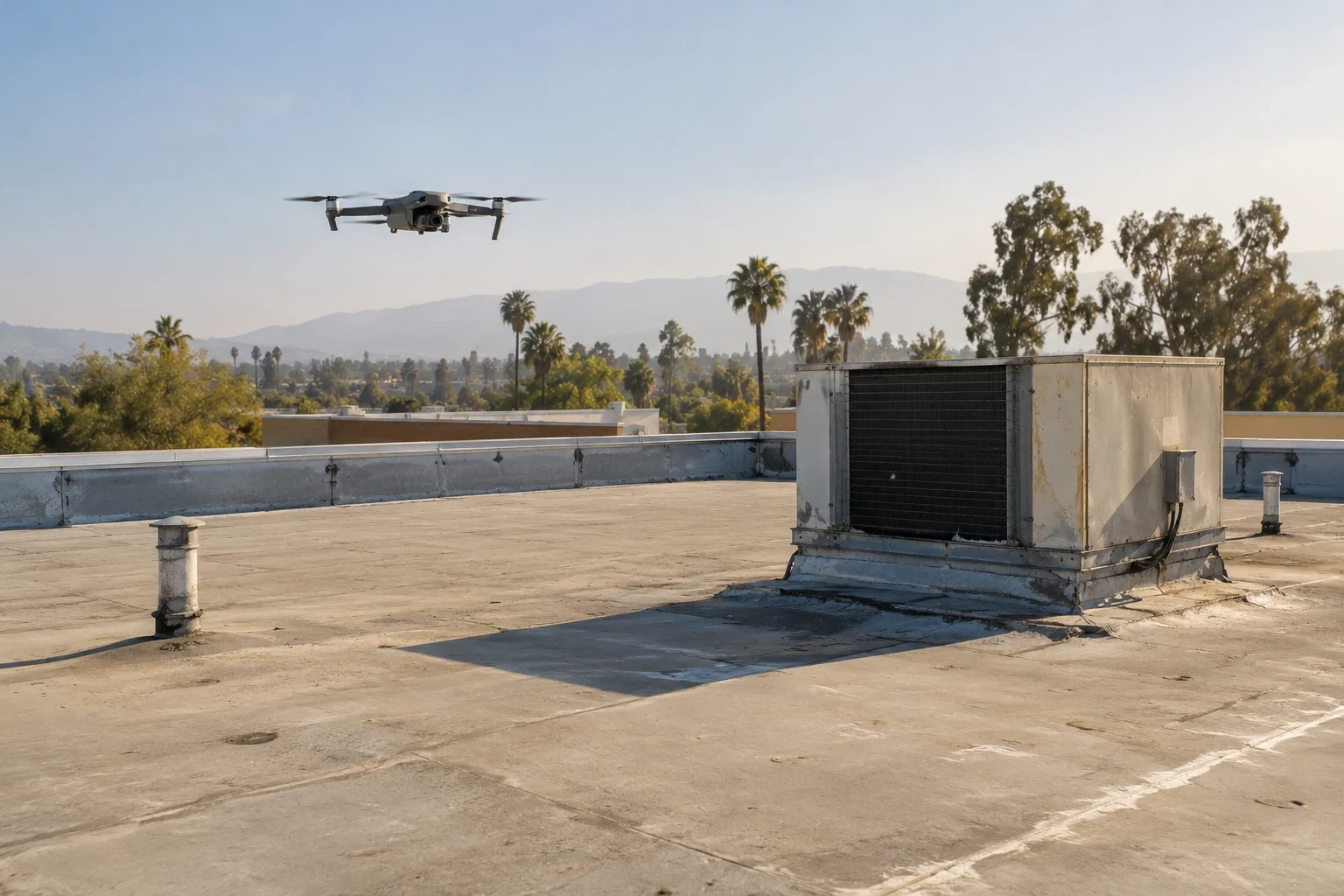
Four reasons. First, size. A roof of several hundred thousand square feet takes hours to walk. We establish the image coverage needed and the feasible flight method. The roof dimensions, access and required detail influence the work.
Second, safety. Some roofs have weak decking, fragile skylights or steep edges where a person should not walk without a harness. A suitable flight can document visible conditions before a hands-on visit is planned. Imagery does not establish structural capacity or make an uncertain roof suitable to enter. Appropriate assessment still controls that decision.
Third, a record. The report identifies dates and photographed locations, with image references organized for later review. Next year we can fly the same path and compare the same spots. A comparable earlier image can help identify a change. The actual detail still needs evaluation before assigning the cause or repair.
Fourth, less disruption. A crew on a roof means noise, foot traffic and access requests. The flight needs a suitable operating and permission plan. Confirm the launch area, affected routes and any facility restrictions with management. The actual method determines what coordination is needed.
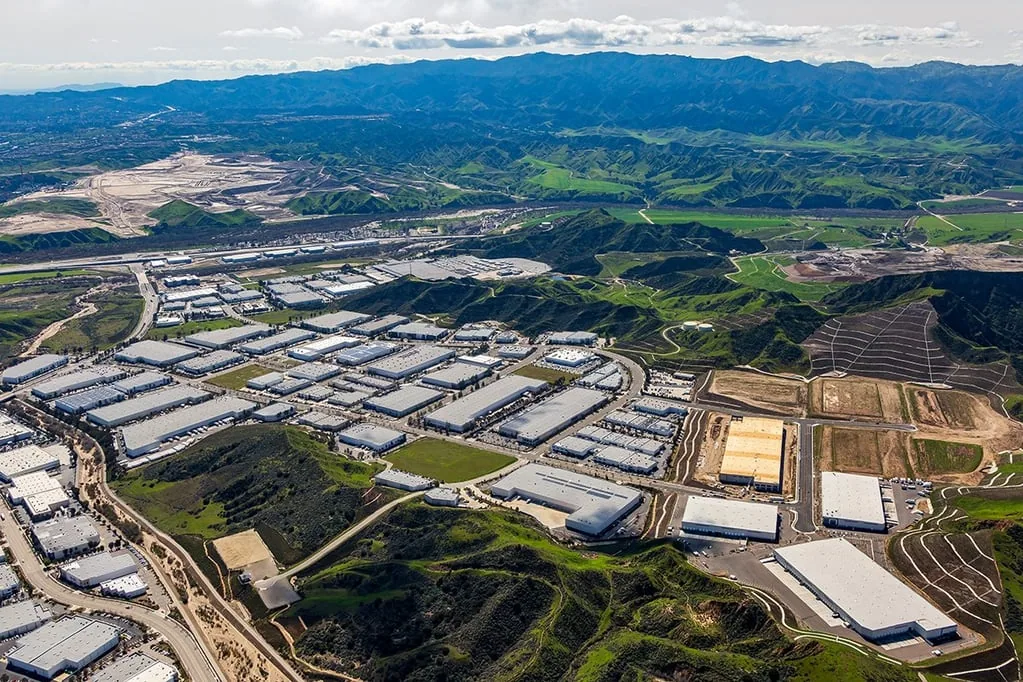
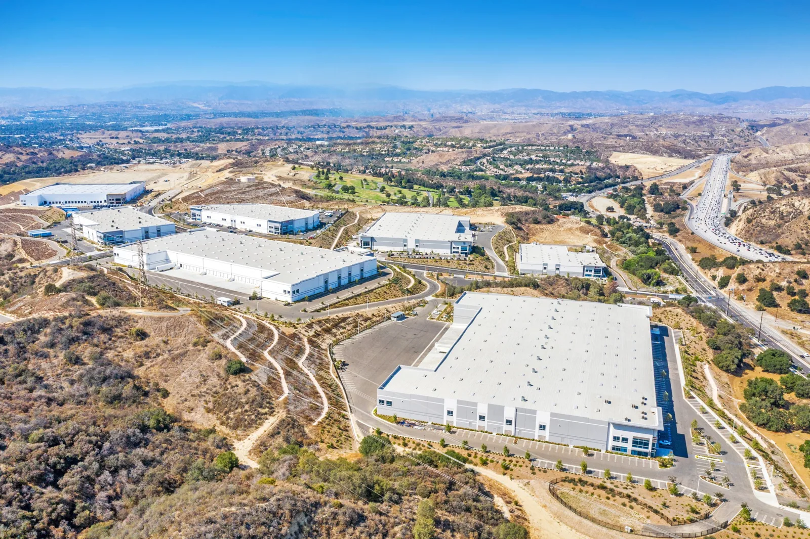
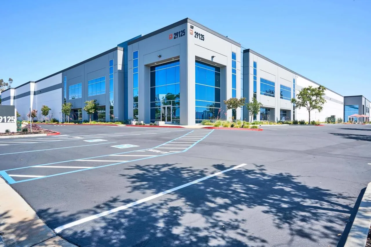
We evaluate the actual roof and image question before selecting a flight. The Valencia Commerce Center is an industrial district near Interstate 5 and State Route 126. Confirm the project property's loading routes and flight coordination with management.
The adjacent IAC Commerce Center and industrial development at Needham Ranch, north of Route 14, need their own address-specific arrangements. Establish the building and permitted operating area before scheduling the method.
Retail and mixed-use roofs benefit too, as do hospital and campus buildings with many levels and equipment penthouses. The roof configuration and the finding sought determine whether imagery is useful. Record obstructions and identify details needing another examination method.
Reflective membranes add another reason. In full valley sun, a white roof throws glare that hides stains from the eye on the ground. Image angle, light and resolution affect what can be interpreted. We select suitable conditions and state areas that could not be examined adequately.
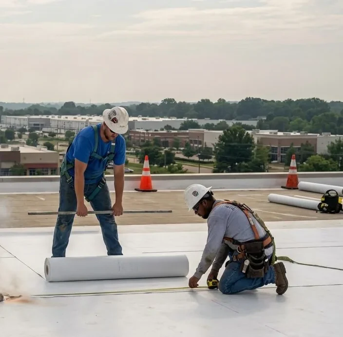
A small, low roof with a safe ladder is usually better walked on foot.
Visible imagery can show surface patterns, displaced components and other details where the angle and resolution support examination. The report identifies the actual observation and proposed next action. It should not present an unseen fastener, fine seam defect or flow condition as established by a distant photograph.
It cannot feel a soft spot, and it has no way to tell if the insulation under a clean membrane is wet. A hairline crack or a failed weld may need a closer look by hand.
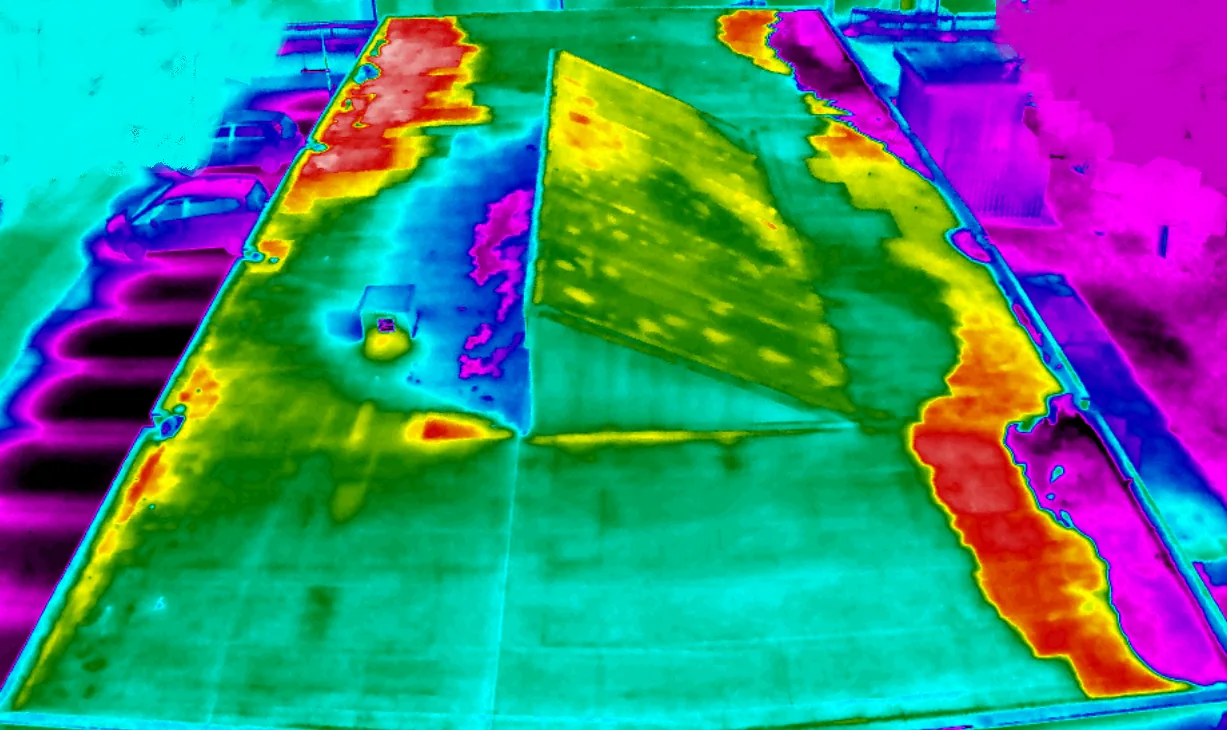
For concealed moisture questions, we may use interpreted thermal observations and appropriate confirmation through an infrared moisture survey. A flagged condition can need a suitably planned hands-on roof inspection. The follow-up method depends on the question and available access. We define the scope and its cost before the owner approves further work. Images guide evaluation rather than determine every concealed condition.
Yes, sometimes. We do not fly in gusty wind. Santa Ana events can bring strong gusts. The pilot evaluates the actual conditions and aircraft requirements before selecting a flight window. A flight in a stiff gust gives blurry images and a risk to the aircraft.
Smoke and fire activity also matter. During a nearby brush fire, airspace can be restricted for firefighting aircraft, and we follow every limit. Drone flight rules from the FAA apply to every job, and we check airspace before we launch.
Dry-season timing can help organize a visit before winter rain. Wind, visibility, access and airspace still control whether the actual flight can proceed. If the window changes, we update management and the proposed examination plan.
Annotated images, an overhead view of the whole roof and a short written summary. Each flagged item shows its location on the roof, a close-up and a note on what it means.
The findings roll into our roof condition reports, so you get one clear document, not a folder of raw files. Owners with more than one building can use the same method across a portfolio through a multi-site roof program, with flights on a regular schedule.
We also tell you what we could not see. The owner needs the coverage and limitations stated clearly. If a section was blocked by shadow, equipment or weather, the report says so.
It can. After a wind event, suitable images can record visible displacement or surface damage at the examined property. Fire-related observations need the relevant access and flight permissions. An image can locate apparent debris or surface change without independently proving its cause or concealed effects.
That helps us set priorities fast, and it gives property managers and insurers a clear overview. The images feed straight into our storm damage roof repair work when repairs follow.
Aerial imagery can help locate visible conditions across a large roof, but it does not test membrane adhesion, confirm soft insulation or establish the condition beneath the surface. Before flight, coordinate site permission, people below, sensitive operations and any restrictions identified for the actual property. After capture, identify obscured areas, image limits and details that need a closer ground-level look. Relate each image to a roof location and reported concern so the owner can decide whether a field visit, sampling or repair estimate is warranted. Keep the imaging scope distinct from a full condition assessment.
For finding visible problems on a large roof, it is excellent. For judging softness, wet insulation and fine detail, it is not enough alone. We pair it with a walk or a survey when the question needs it.
The actual flight plan establishes the affected areas and coordination. We confirm the permitted operating window and facility contacts. Management receives the relevant notices before the visit.
Coverage, conditions and the examination question influence the visit and image review. We establish the proposed method before scheduling. Suitable detail matters more than a promised flight duration.
We establish the required launch and examination access for the actual plan. A later hands-on task may need separate arrangements. The owner receives the relevant permission and coordination requirements.
No. It finds the places where leaks usually start: open seams, failed flashing, standing water and torn membrane. The entry path needs appropriate investigation. Thermal interpretation, confirmation or suitable authorized testing may inform it, with method limits clear.
Yes. They are dated and geotagged and sit in the written report. The report locates the examined conditions and states coverage. The receiving party determines what other information it needs; images do not establish policy coverage or a funding decision.
Call Commercial Roofing Santa Clarita to schedule a drone flight on your large or hard-to-reach roof. We will fly it, flag what matters and tell you what to do, before the first winter rain or the next fire season, whichever comes first.
Pages that connect with Drone Roof Inspection for Santa Clarita Valley buildings.
Notifications